Print booklet:1 2 3
Walking direction photo: 17 for walk King's Somborne, Horsebridge, Hampshire. Walk direction photograph: 18 for walk King's Somborne, Horsebridge, Hampshire, South and South East England.
Walking direction photo: 19 for walk King's Somborne, Horsebridge, Hampshire. Walk direction photograph: 20 for walk King's Somborne, Horsebridge, Hampshire, South and South East England.
Walking direction photo: 21 for walk King's Somborne, Horsebridge, Hampshire. Walk direction photograph: 22 for walk King's Somborne, Horsebridge, Hampshire, South and South East England.
Walking direction photo: 23 for walk King's Somborne, Horsebridge, Hampshire. Walk direction photograph: 24 for walk King's Somborne, Horsebridge, Hampshire, South and South East England.
Previous © J. Ansell 2002-2009 Printing Hints
Print booklet:1 2 3

King's Somborne, Horsebridge

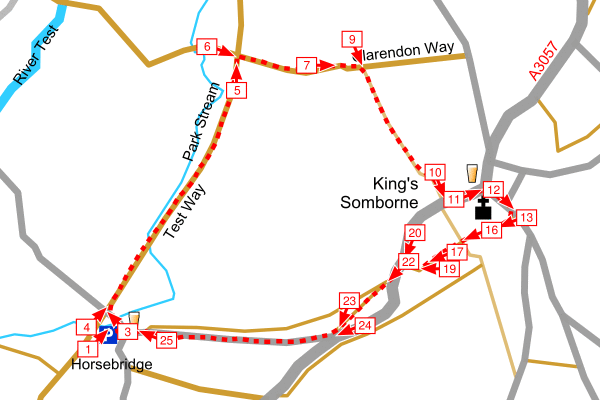
After a short walk along a road this walk follows short streches of the Test Way and Clarendon Way to King's Somborne. After walking around the village the walk returns along a quiet road to Horsebridge. Walkers are welcome in the John O'Gaunt Inn in Horsebridge, or you could try the Crown Inn in King's Somborne.

The Clarendon Way is a 24 mile walk joining the two great Wessex cities of Winchester and Salisbury.

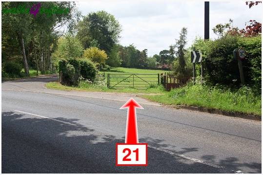
Follow the sign posts to Horsebridge and the John O'Gaunt pub from the A3057 road from Romsey to King's Somborne. The Hampshire County Council Test Way car park is down the road opposite the pub then on your right.

Map:OS Landranger Sheet 185Grid Ref:SU 344 304
Distance:3 miles / 4.9 kmClimb:360 feet / 110 m
Difficulty:ModerateDate:May 2009
Printing Hints © J. Ansell 2002-2009 Next